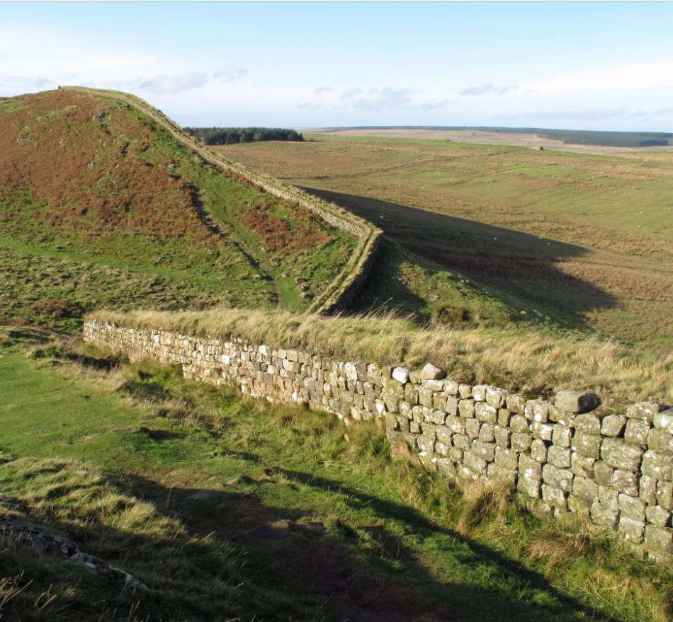
At the end of last year, the ADS was excited to announce the publication of Hadrian’s Wall Community Archaeology Project (WallCAP). Between 2019 and 2021, Newcastle University hosted a community based archaeology project funded by The National Lottery Heritage Fund. This initiative focused not only on uncovering new insights at the World Heritage Site, but also aimed to empower local communities by offering them the opportunity to take part in archaeological digs, surveys, and research activities.
Using the characteristics of community archaeology to reach key aims relating to the conservation and management of Hadrian’s Wall helped strengthen ties between heritage organisations, local residents, and visitors, ensuring that Hadrian’s Wall remains a vital and well-preserved part of the UK’s cultural heritage.
The project had two key outputs, the first being fieldwork interventions at six sites along the wall that formed part of the Heritage at Risk programme. The second was fieldwork and research that focused on the biography of the stone used at the wall, tracing the prior geology and post Roman use of the stone.
This digital archive consists of three collections:
WallGIS
The archive includes WallGIS, a GIS and geodatabase that combines 150 years of archaeological research on the features of Hadrian’s Wall. Every feature that makes up Hadrian’s Wall has been recorded on this map alongside detailed information and spatial data. The map allows the user to navigate features, show features based on different criteria including preservation conditions, show georeferenced historical maps, and click on a feature for its full detailed record.
This archive also allows access to the full GIS files which are free to explore and download to be used in future research and study.
Heritage at Risk Data
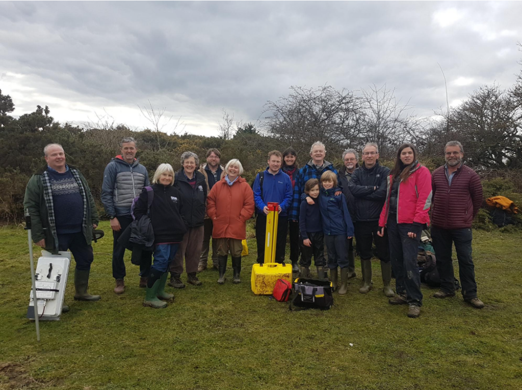
During the project fieldwork was completed at six key sites along Hadrian’s Wall, with the primary aim to better protect, manage, and understand these sites. One of the key objectives from this was for these sites to be removed from Historic England’s Heritage at Risk register, a vital step in safeguarding their long-term future . Whilst this strand of the project allowed for a better understanding of the condition of the sites, it also allowed for large numbers of volunteers to gain valuable experience in excavation, survey and recording techniques.
The download section of this archives includes:
- Map of sites
- Cambeck
- Cat Stairs and Peel Gaps
- Corbridge
- Drumburgh
- Heddon on the Wall
- Port Carlisle
- Portgate
- Thirlwall
- Walltown Crags
Stone Sourcing and Dispersal Data
This strand of the project focused on gaining a deeper understanding of the stone biographies at Hadrian’s Wall, exploring the origins, movement, and reuse of the stone used in its construction over the centuries. By examining the geology of the region, as well as the fabric of the Wall itself, the project aimed to trace the history of the stone, from its extraction to its eventual incorporation into Roman structures and beyond. Volunteers carried out geology walks to record the fabric of the stone, while project staff carried out sampling and petrographic analysis. This allowed researchers to address critical questions about the sourcing and transportation of materials, and to identify instances where stone from the Wall may have been repurposed in later periods, particularly in post-Roman structures.
The download section of this archive includes:
- Introducing the Method
- Explaining why geological process creates variation
- Categorising minerals, textures, grain sizes and shapes
- Glossary of Terms
- Checklist for fieldwork
- Roman Masonry: A Beginner’s Guide
- Roman Quarrying at Hadrian’s Wall
Internet Archaeology
This collection is related to an open access article published in Internet Archaeology.
Murphy, K. and Collins, R. 2024 ‘WallGIS: A Database and GIS for Hadrian’s Wall (Data paper)’, Internet Archaeology 67. https://doi.org/10.11141/ia.67.24
This article focuses on the WallGID archive and its potential for re-use, as well as its relationship to other publications and archives.
This archive is available from the link below:WallCAP: The Hadrian’s Wall Community Archaeology Project Collections and Map. Collins, R., Harrison, J., Kille, I., Turner, A., Murphy, K., Shaw, K., Frodsham, P., Garland, N. (2024) WallCAP: The Hadrian’s Wall Community Archaeology Project Collections and Map [data-set]. York: Archaeology Data Service [distributor] https://doi.org/10.5284/1100068